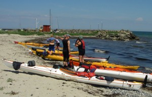
The long cliff (klint) line that extends for 14 km in a north south arc starts just south of our launching pad at Bøgeskov harbour, near Holtug, which is about 25 km south of Copenhagen.
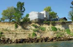
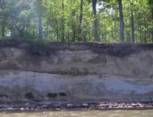
The moraine debris cliffs here are not very stable.
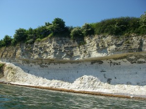
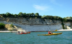
Just south of this unhappy sight, the chalk cliff begins. It has a consistent profile of hard grey chalk which overhangs whiter softer chalk.
The harder chalk consists mainly of bryozoa, which are tiny colony-forming animals with calcite exoskeletons, a bit like corals, which are also found in this district. They form bumps on the sea bed, which accounts for the wavy arrangement of flint layers in the picture.
This is a world famous geological site because the thin layer of clay just below the overhang contains an unusually high concentration of the rare metal iridium, which is thought to come from a colosal meteorite impact, currently thought to have been in the Yucatan peninsula of Mexico and proposed as the cause of the extinction of the dinosaurs.
While we talk of distant locations, the soft lower chalk is ascribed to the Maastrichtian stage in geological history, at the end of the cretaceous period. The hard chalk above is put in the Danian stage of the neogene period (formerly known as the early tertiary). Denmark has the honour of labelling this period of earth history because it has a good sediment record of this time, having been mostly sunk below the sea.
This is a fairly good building material, and even better for making cement and lime, so it has been extensively quarried, here in the disused Holtug quarry, which is now a nature reserve.
we did not get very far on this excursion because the east wind was whipping up some chop as we approached the headland, so we turned back to take lunch at the harbour.
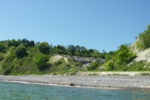
After lunch we paddled a bit northward in the shadow of a vast beechwood. Here the low cliffs are of glacial sand and gravel. The black specks of the flint within the chalk are here replaced by the black entrances to the holes made by the sand martins.
We plan a visit to the southern end of Stevns klint later in the year, so I may have the chance to extend this short post. There is also intermittent access from the coast path.
Meanwhile, there is some interesting literature.
A Danish text, with good pictures is at:
http://geocenter.dk/xpdf/geoviden-3-2014.pdf
A more academic geological article, in English, is here:
http://2dgf.dk/xpdf/bull54.pdf
tim, June 2016
