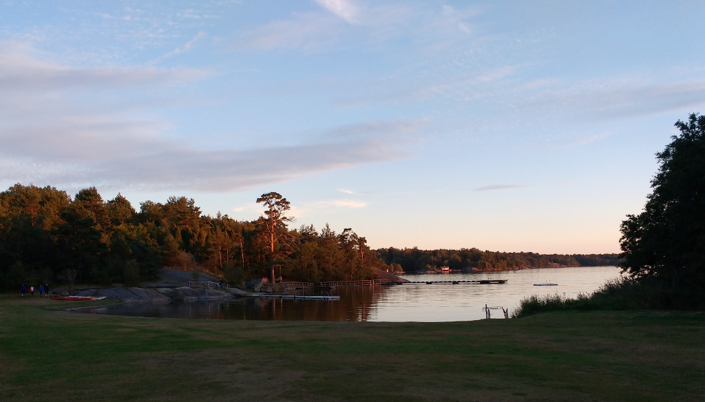
Our starting point was the campsite at Järnavik, 15 km west of Karlskrona in the (relatively) warm deciduous forest region of the extreme south of Sweden. It took a while to get there from Copenhagen, so our first glimpse of the Baltic sea was near sunset.
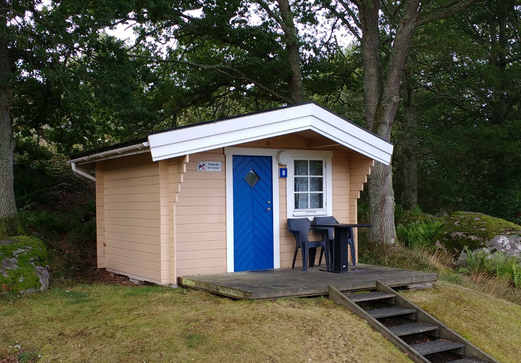
I had the privilege of sole occupancy of this miniature house (stuga) with four bunks. No one wanted to share, so it was luxurious and correspondingly expensive.
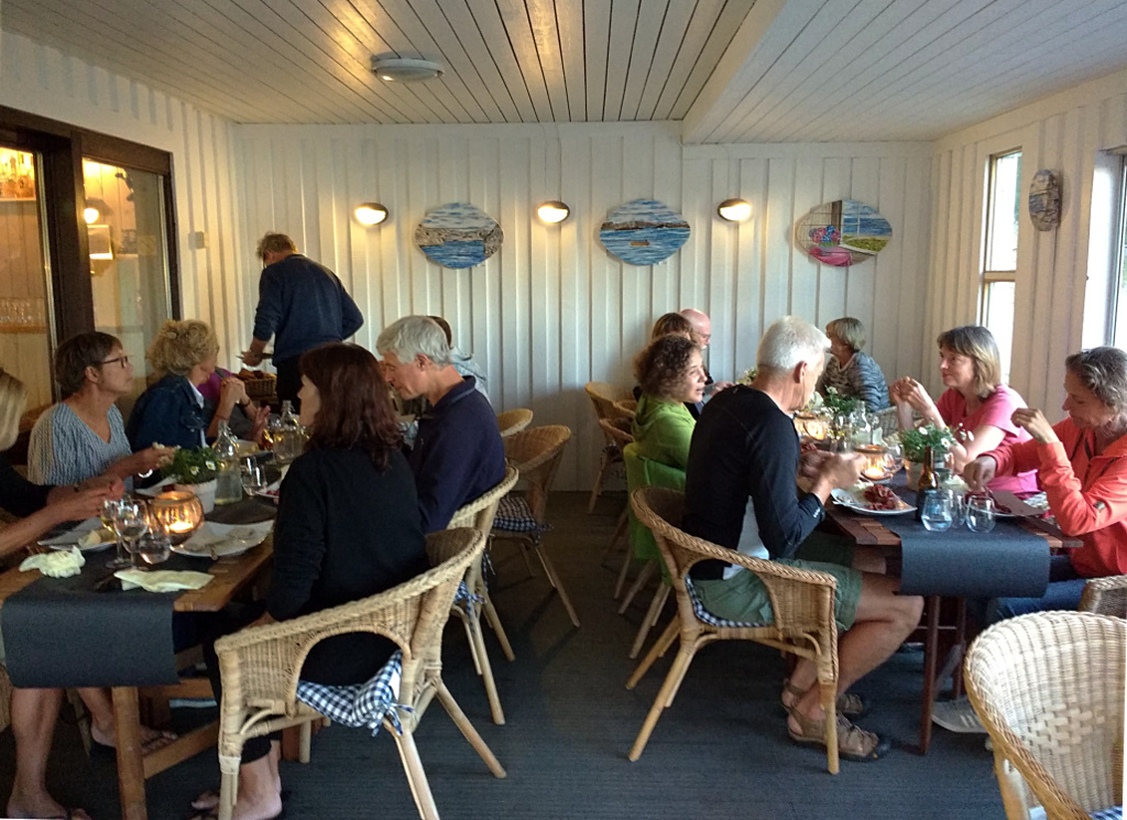
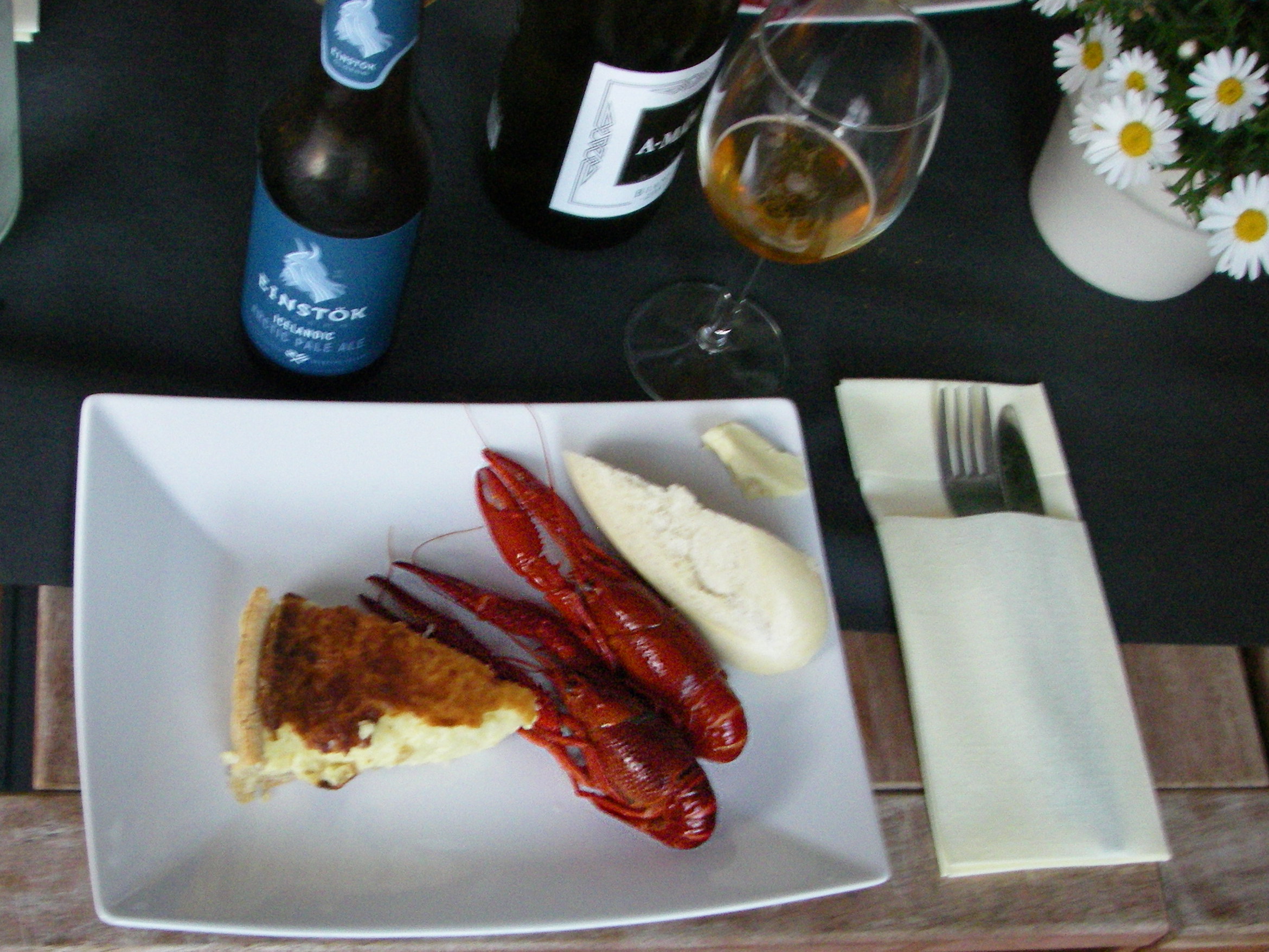
The social arrangement started with a crab feast in the campsite restaurant. I have never mastered this art without getting sticky hands, masses of chitin fragments and very little meat, but the cheese tart was also good.

The next day was lightly overcast but warm. We set off south west into an intricate arrangement of islands, shown on the map (click for usable view), which is accurate in the placing of the rocky bits but impressionistic in its kayak traces. The grid lines are at 2 km intervals. Routes 1,2,3 are day 1. I welcome corrections from the navigators.

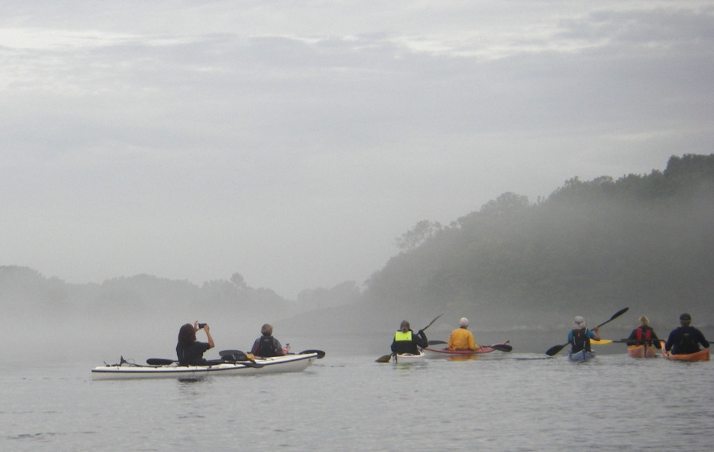
Navigation in these low lying islands is not trivial. From the paddler’s eye level, 60 cm above the water, one seems to be surrounded by an unbroken wall of rock, occasional boats and houses, and mostly surmounted by trees. The passages between are only visible when one is close, so a compass is indispensible.
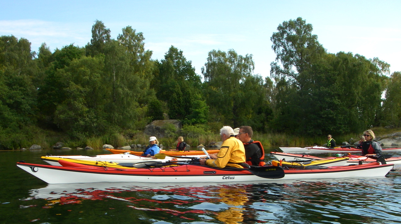
These navigation pauses gave everyone a chance to gather, which is why this post is unusual, for me, in showing paddlers’ front side.
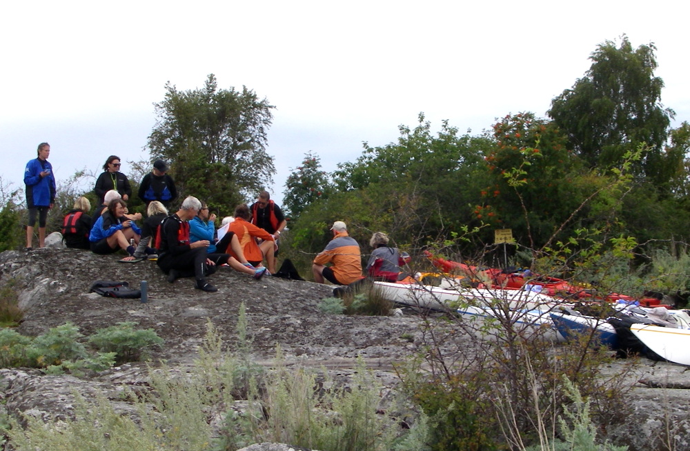
Our first landfall was on Mjöö. We arrived together, thanks to the civilised tour leaders who kept us in a 100 m long bunch.
Some people preferred to stay afloat. However, we shipped out two pieces of cake by wind-blown paddle float.
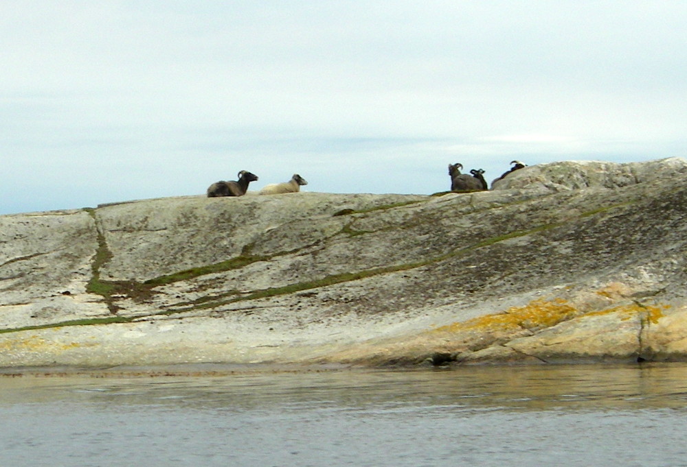
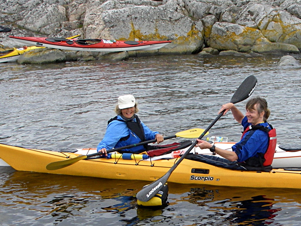
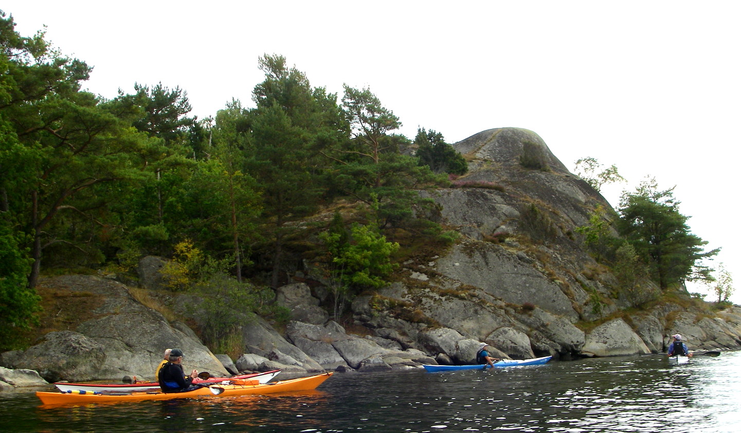
The paddle to our lunch stop was an intricate passage between islands of glacially rounded stone with trees clinging to the shallow pockets of soil. Many of these islands are maintained as nature reserves with carefully managed grazing to keep an open landscape with trees. The only grazing animals we saw were goats, but in other seasons there is also abundant bird life, as shown by the abundant carpet of dried goose shit.

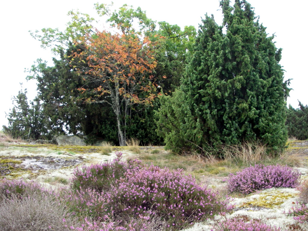
Lunch was on an unnamed tiny island just west of Bokö The landscape of close cropped herbs interspersed with trees was showing the first signs of autumn – yellowing leaves and flowering heather. The trees were juniper, birch, rowan and oak, with beech in more sheltered places. The autumn maritime flora was still rich in bloom.
The Swedish nature authorities are generous with wild information panels put up in unlikely places and informing of local species and geology. I noted some interesting cultural differences.
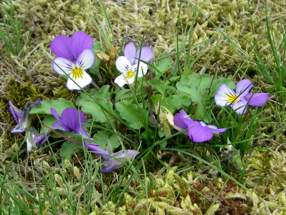
Viola tricolor is called Stepmother violet (styvmorsviol) here. I remember its abundance near our house high on the Yorkshire moors, growing on the lead mine waste tips where little else could endure the poisonous soil. It is hardy and pretty; an attractive combination of virtues. Hence its English names: Love in idleness (Shakespeare) or more commonly Heartsease.
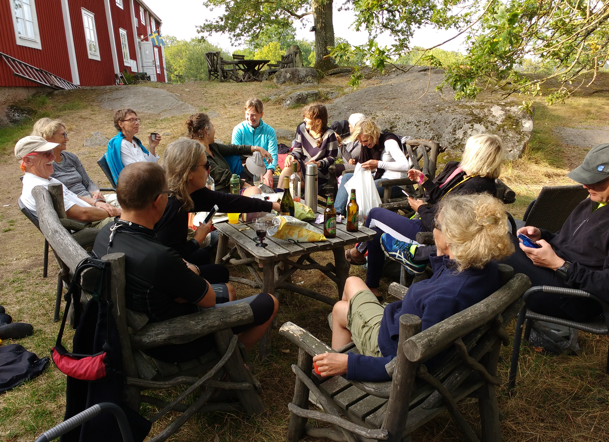
We arrived for dinner at the restaurant on Tjärö, with time for a pre-dinner drink in the dappled sunlight. This island is stated, on the wild information posters, to be the loveliest in the province. However, its connection to the mainland by ferry has brought enough people to make it just another tourist place with hard tramped paths and affluent ugliness.


There are remains of the earlier hard life of the farmers and fishermen, stone walls and wooden barns, preserved under the ubiquitous Falun red paint – another toxic mine waste product, re-purposed to the conservation of buildings.
We paddled back to our camp in the gathering dusk.
The next day was devoted to the gentler waters of the fjords fingering inland to expire in reed beds. However, the morning mist made me doubt our success in navigating the maze of channels.
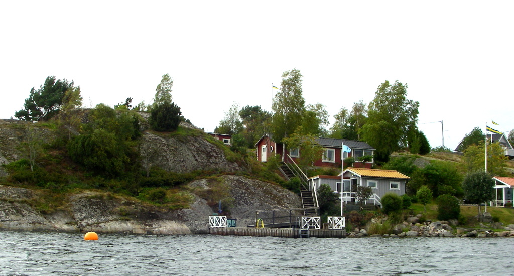
Swedish prosperity, proclaimed by numerous flagpoles, is well displayed on these sheltered, mild coasts. Here on the mainland peninsula of Eriksberg.
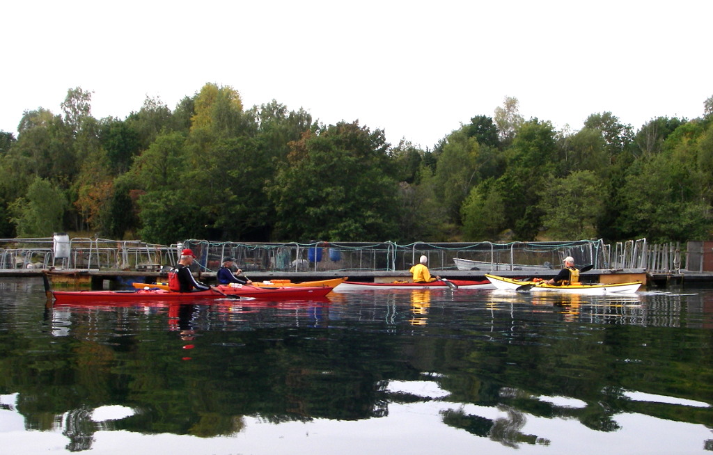
There is also modern industry here. I was puzzled by the sudden appearance of jellyfish, in abundance, with scarcely a hands breadth between them. The mystery was solved as we rounded a bend and came to the fish farm which was supplying nutrients to both caged fish and to the adjacent water in the tideless fjord.
We enjoyed calm water and muted sunshine for most of the time. A south east wind and the exposure to open water gave some waves as we rounded the peninsula of Västra udden.
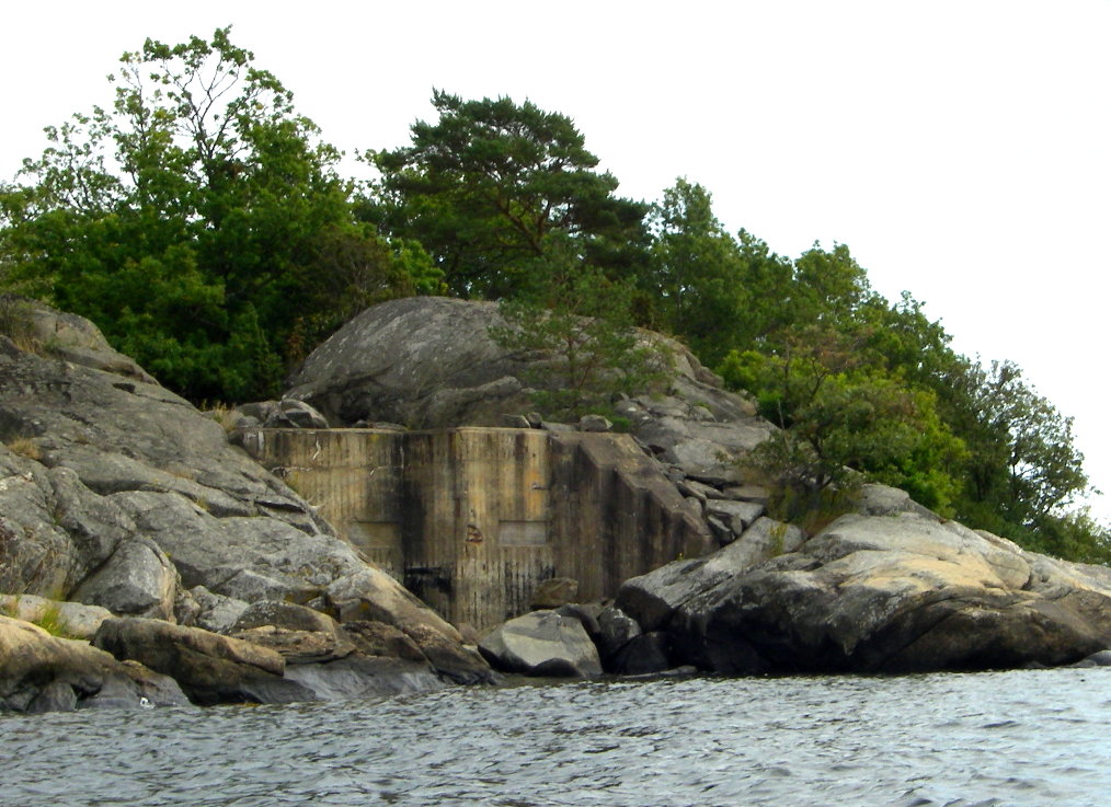
This exposed place is also fortified by concrete bunkers and a mysterious set of heavy iron rings fastened to the rocks exactly at water level. We were not far from the Swedish naval base at Karlskrona, whose 17th c defenses are shown in an earlier post.

We returned to camp for a final lunch together, before the two and a half hour journey back to Vedbæk.
I enjoyed the trip because it was nicely paced with frequent stops to examine land as well as water and with everyone paddling together, for which the leaders deserve much praise.
tim