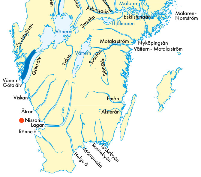
The Nissan (the terminal -an means river in south west Sweden) is a medium size river that meets the salt sea at Halmstad.

Our lodge for exploring the river, and the nearby lake Fegen, was at Nyebro, marked as an orange disk on the map above.
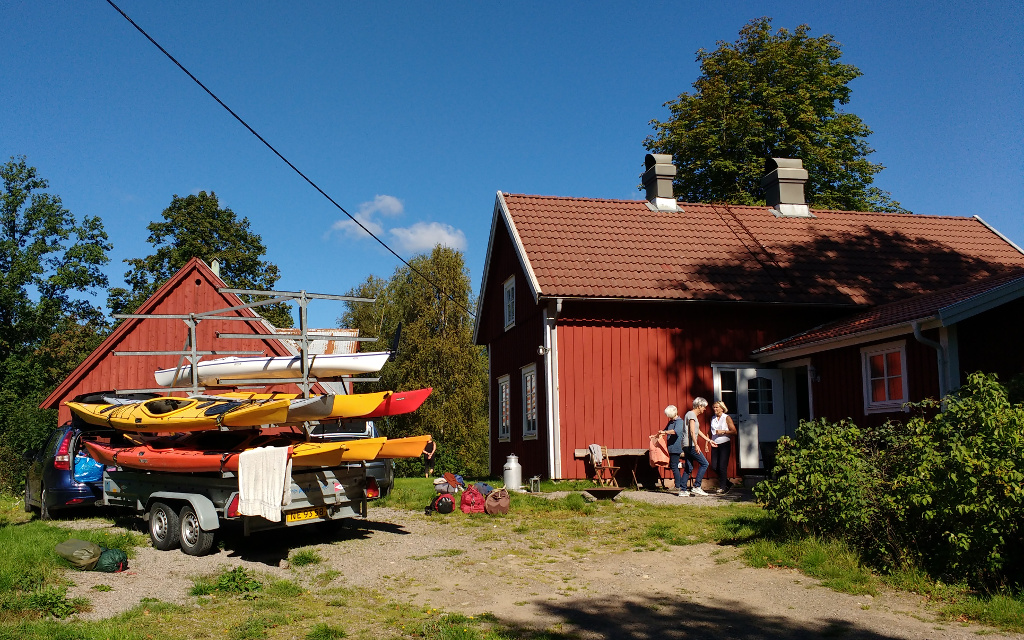
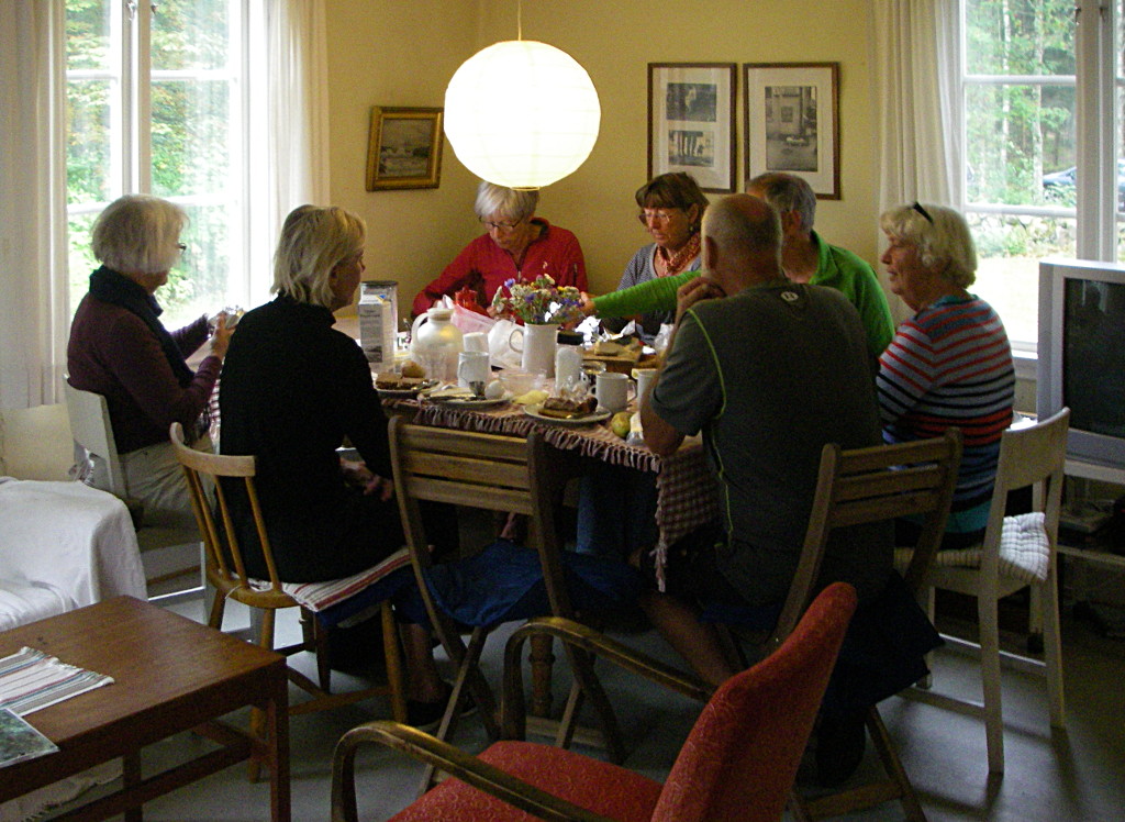
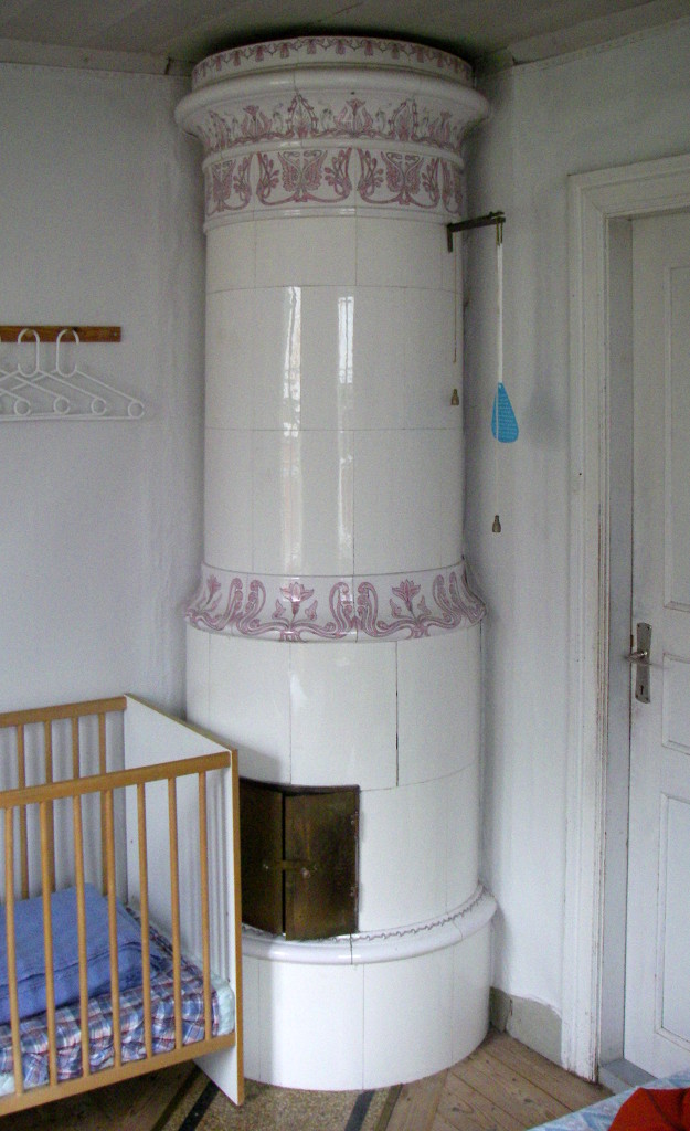
The house has been modernised to provide what travelers expect now, but has some nice 19th c features surviving from a harsher age.
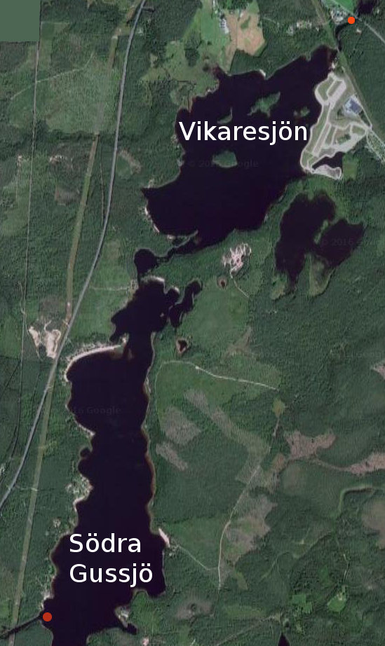
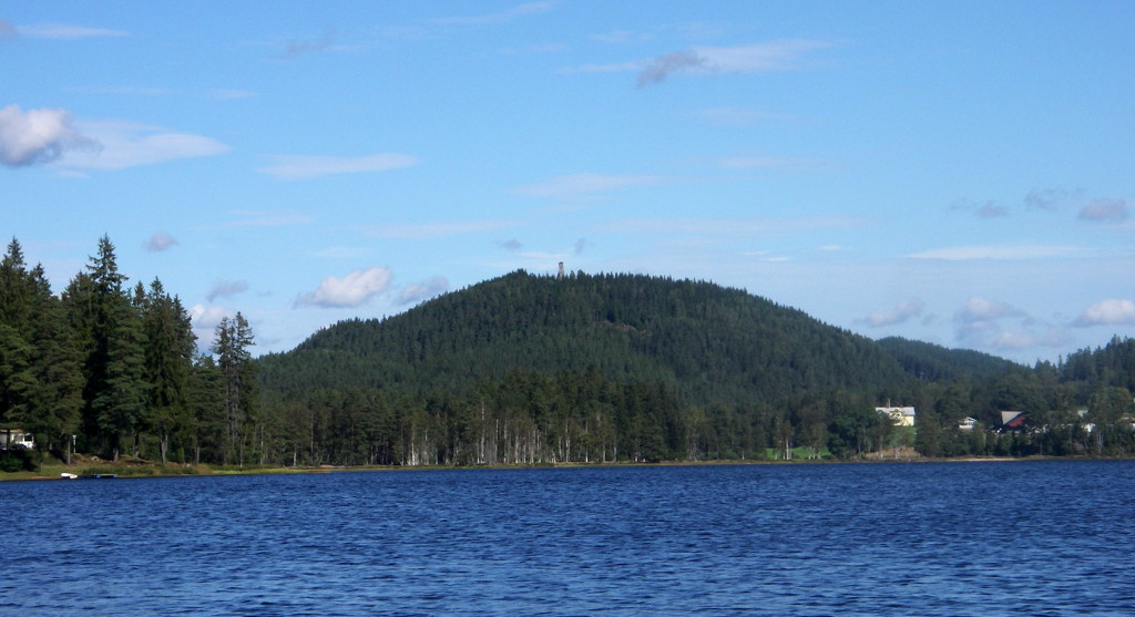
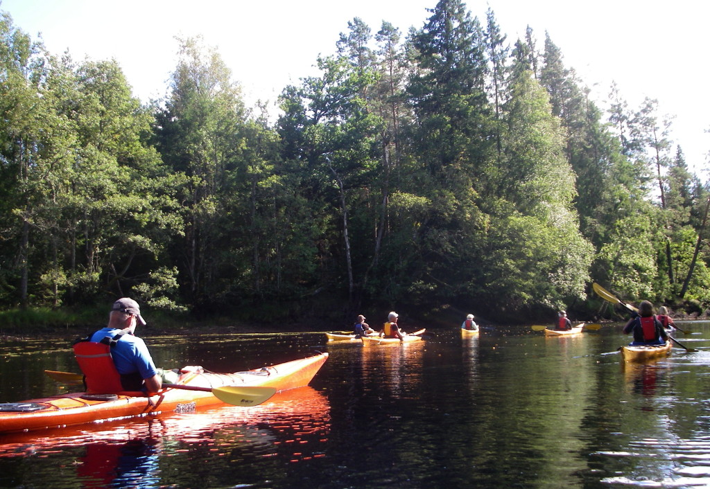
Our first excursion was to Fegen, a lake about 20 km due north of Nyebro.

It was a delightful sunny day and the lake was exactly as a Swedish lake should be: peaceful and dotted with islands covered with trees.
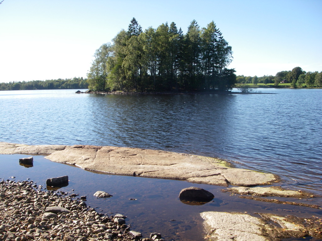
The water is brown from the tannin released from the boggy acid soil. I saw one fish during the three day tour, and the footprint of an otter. I suspect that we moved too fast to detect the wildlife.
We paused for an afternoon break on the island marked in orange on the map above.
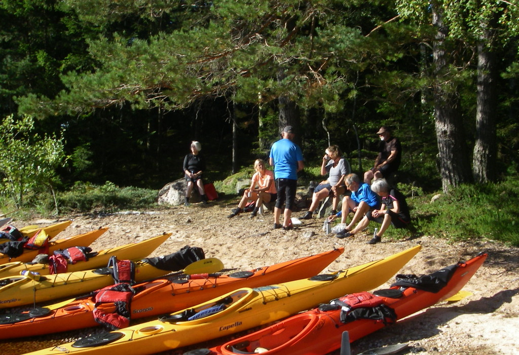
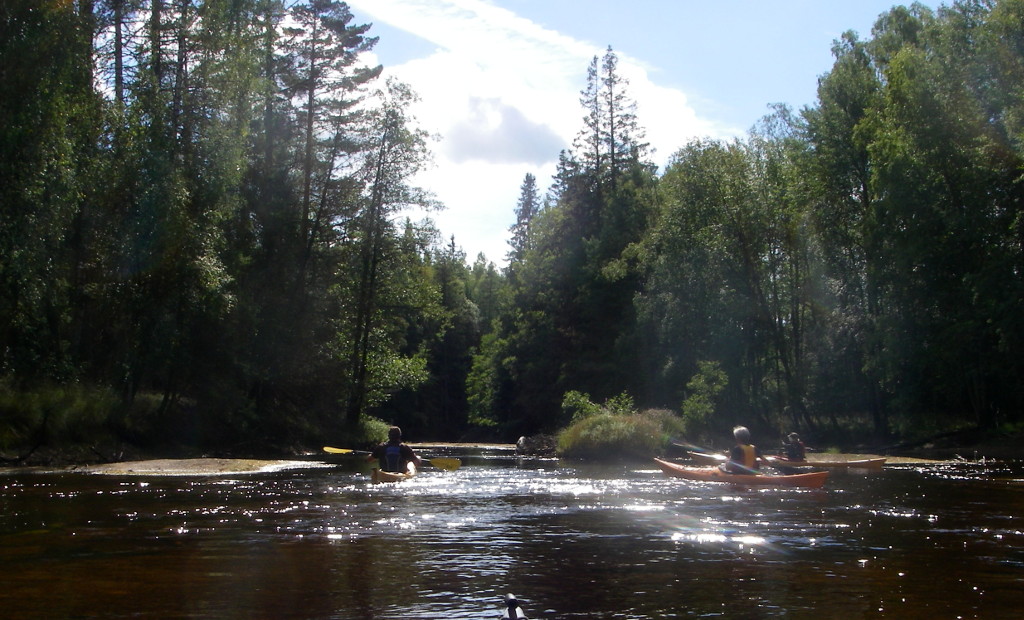
The next day we set out on the Nissan. Launching at Hestraviken, which is about 13 km north of Gislaved, our destination, but 23 km down the winding river.
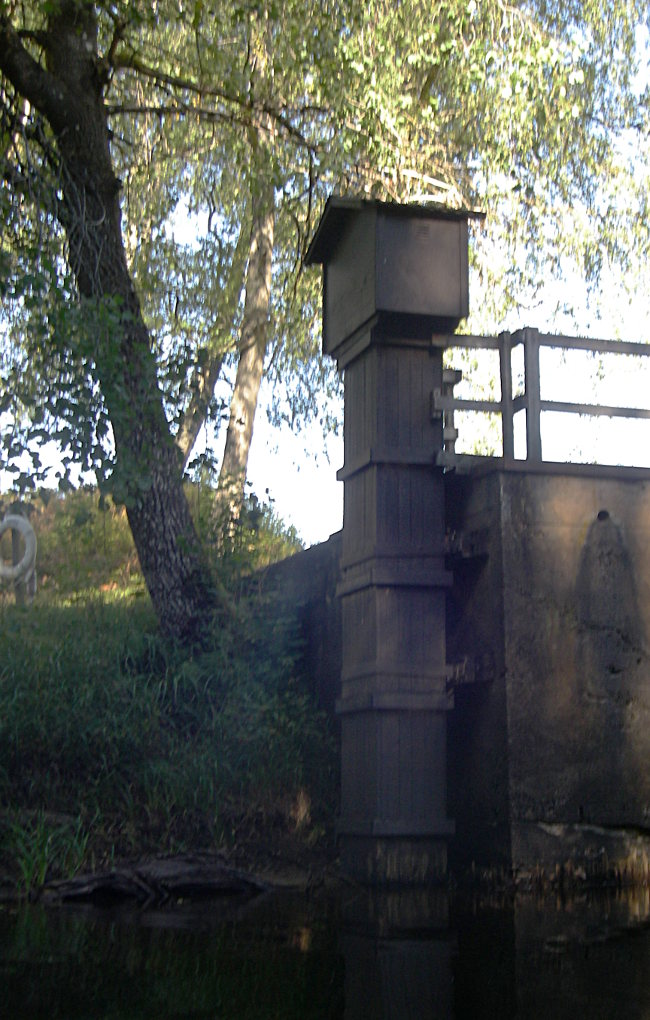
There is a scarily high water level sensor at our starting point. But this day the water level was low, which is not an advantage, because more rocks, and particularly fallen trees impede progress.

The route starts as a river but soon opens out into a long lake. To the north is Isaberg at about 240 m. It is a ski resort, with tower on top and ski lift, from 1919, and more recently installed snow cannons, to keep the snow falling as this very modest mountain warms up.
At the south end of Söndra Gussjö we paused before entering the river again.
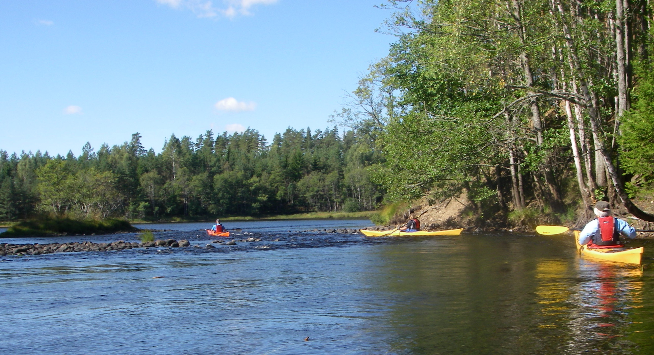
The shallow sill where the river leaves the lake is the nearest we got to white water on this trip.
The main hazard to navigation was fallen trees. This is a popular canoe trail, so there is regular pruning of fallen trees to give passage, while retaining the impression of an adventurous wilderness.
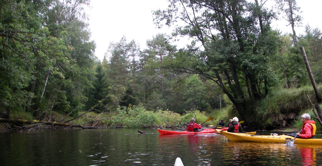
The route down the river is a continuous sequence of curves with dappled shade from trees just beginning to realize that autumn is here.

For stretches of several kilometres the banks are high and sandy, with low reedy interruptions where former meanders now lie stagnant.
It was not always easy to find a congenial and accessible landing place, and there were calls to continue round the next bend, and the next.
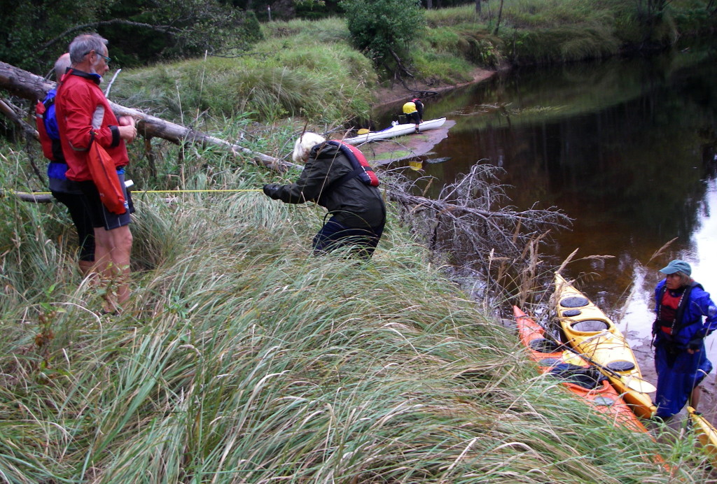
Fortunately, the engineers in the party were good at facilitating the ascent, and particularly the descent towards kayaks precariously close between steep ground and deep water.

The sluggish, meandering course of the river made for boggy ground. The ground cover here is a mixture of reed and horsetail, without anything eatable.
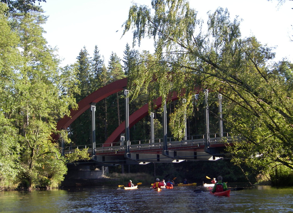
The Nissan valley has also a railway line and a major road, so the wilderness shown in these pictures is a fairly narrow belt.
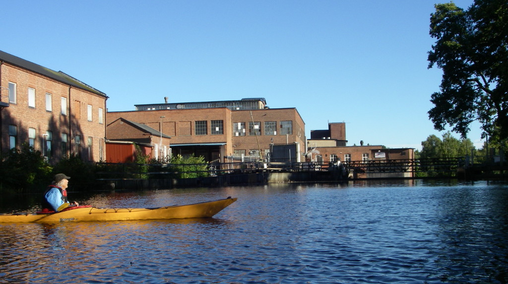
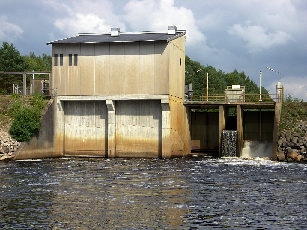
The river has long been exploited for industrial power. here our journey ended at the weir of the Gyllenfors (fors = rapids) power station in the industrial town Gislaved.
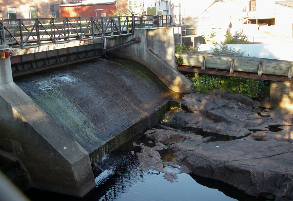
The dam was built in 1898 but the hydropower installation is from 2009.

There is an industrial museum in town, with a giant and threatening roller press exhibited on the town park.
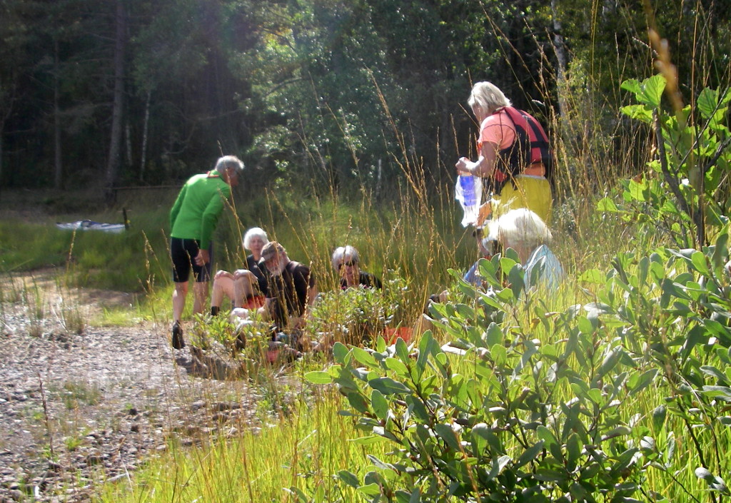
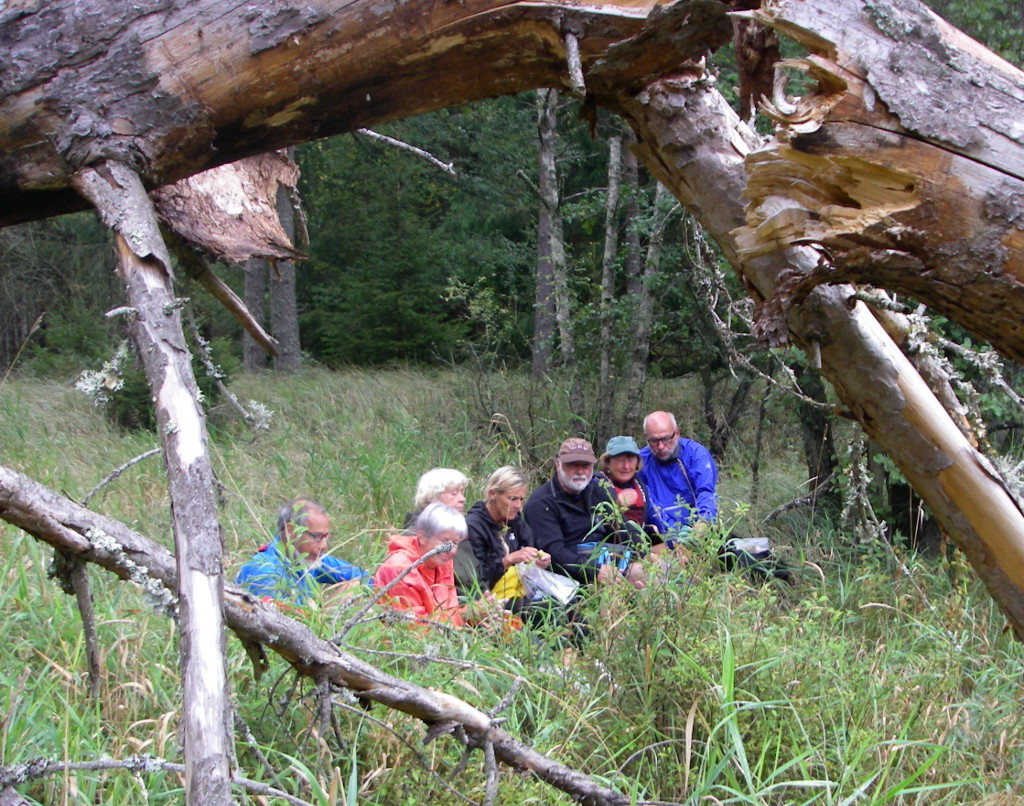
On the last day the group planned an up and down paddle on another section of the river, but I suspected it would be exercise without pause, so two of us opted for exploration of the forest near Nyebro.
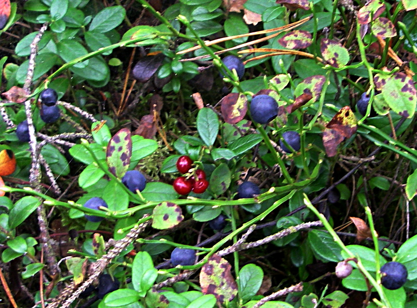
The acid peaty soil, drained by ditches to improve the new tree growth, supported an abundance of blueberry and cowberry (Swedish: tyttebær = Vaccinium vitis-idaea), with a few late raspberries, so we were able easily to collect a kilo of mixed fruit to provide dessert to the returning paddlers, who landed just upstream of Fröslida dam (1983).

I end this account with an eloquent sign, not to walk on fast flowing water. There is, however, a more subtle danger to kayaking in Sweden. I detected one tick, sucking blood from my arm. The prize, however, goes to Ms V, who gathered about twenty ticks, but she wore shorts.
I give my warm thanks to sympathetic companions and fine organisation and leadership from members of the Vedbæk kayak club. Having no driving licence, I rely on the generosity of others to share these exotic country pursuits.
tim